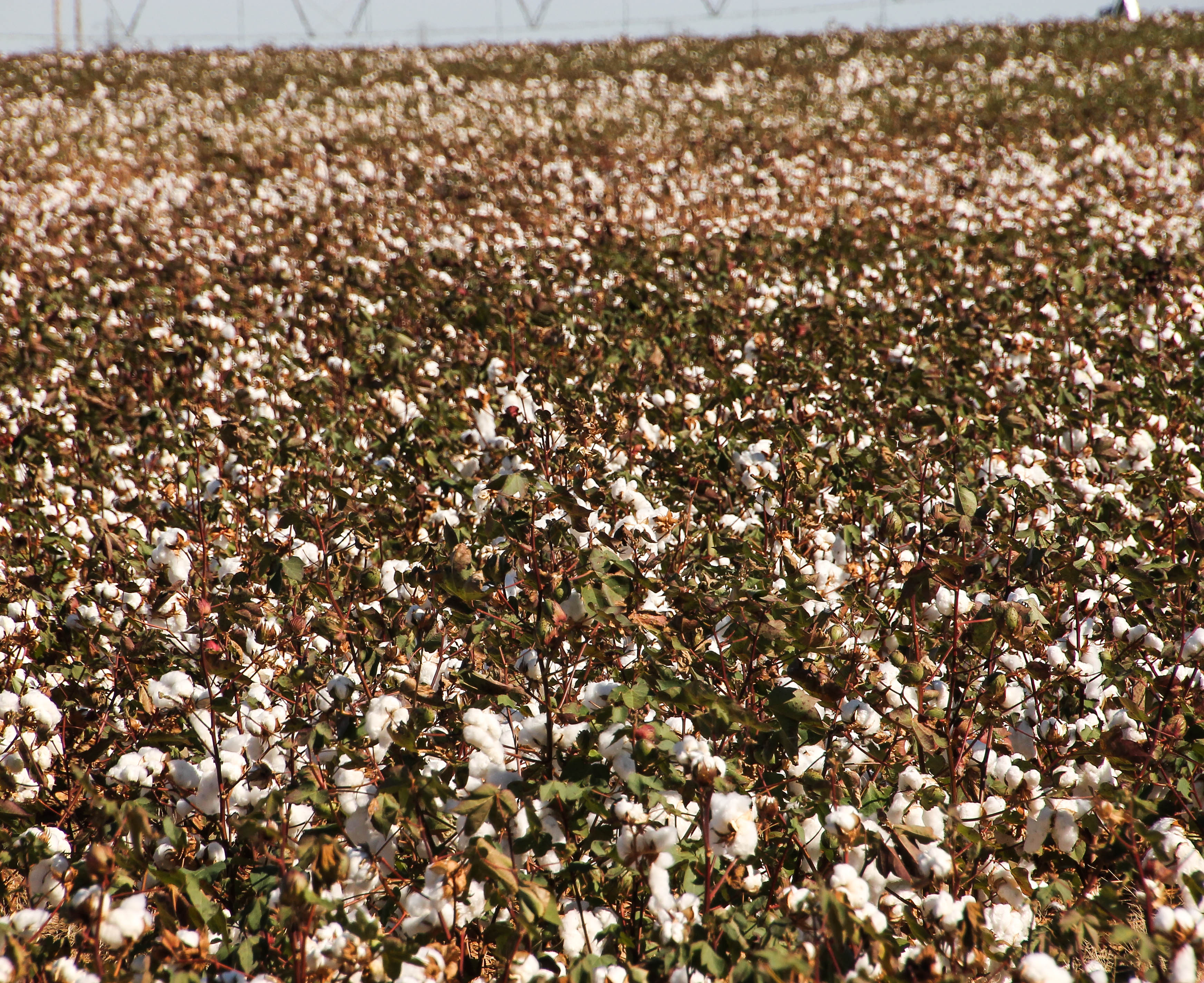
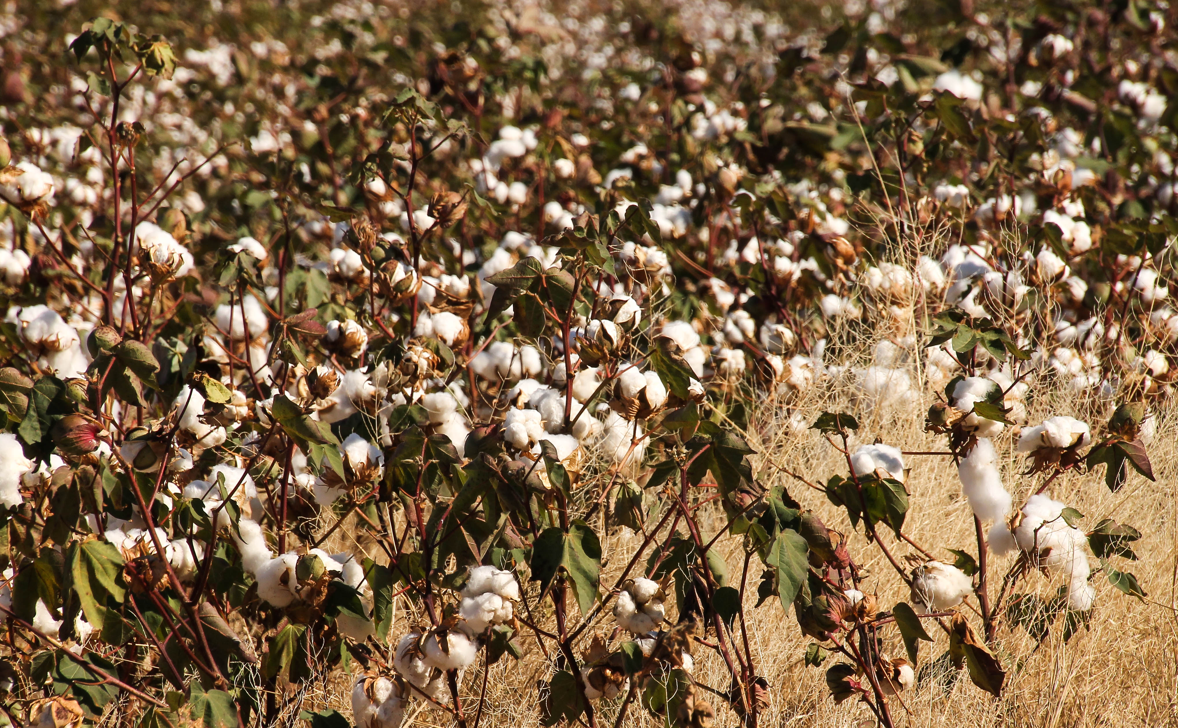
On Friday, as we drove the 241 miles from Dalhart, Texas to Quanah Texas, we enjoyed the view outside our window – acres and acres of cotton fields.
For me it was wonderful to see these fields, knowing that American farmers are still planting, growing, nurturing and supplying this raw material. Thank you cotton farmers!
As we passed farm after farm with their cotton picking machinery, I wish I could have gotten a photo of one of the huge cotton picking machines.
I remember my mother telling me how she helped her family pick cotton when she was just a little girl.
Once we arrived at Copper Breaks State Park, located eleven miles outside the town of Quanah, and after setting up camp, we decided to take a ride.
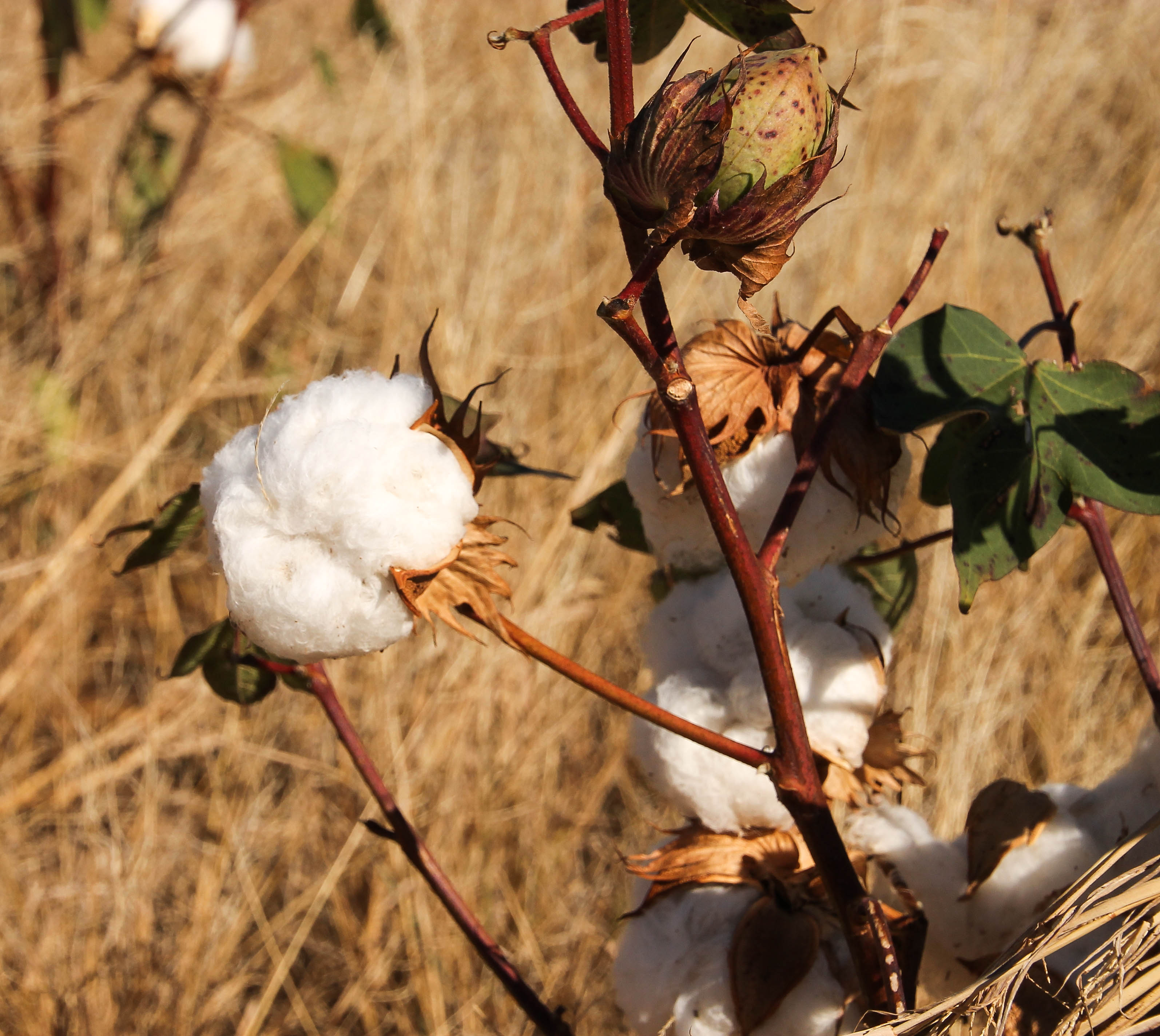
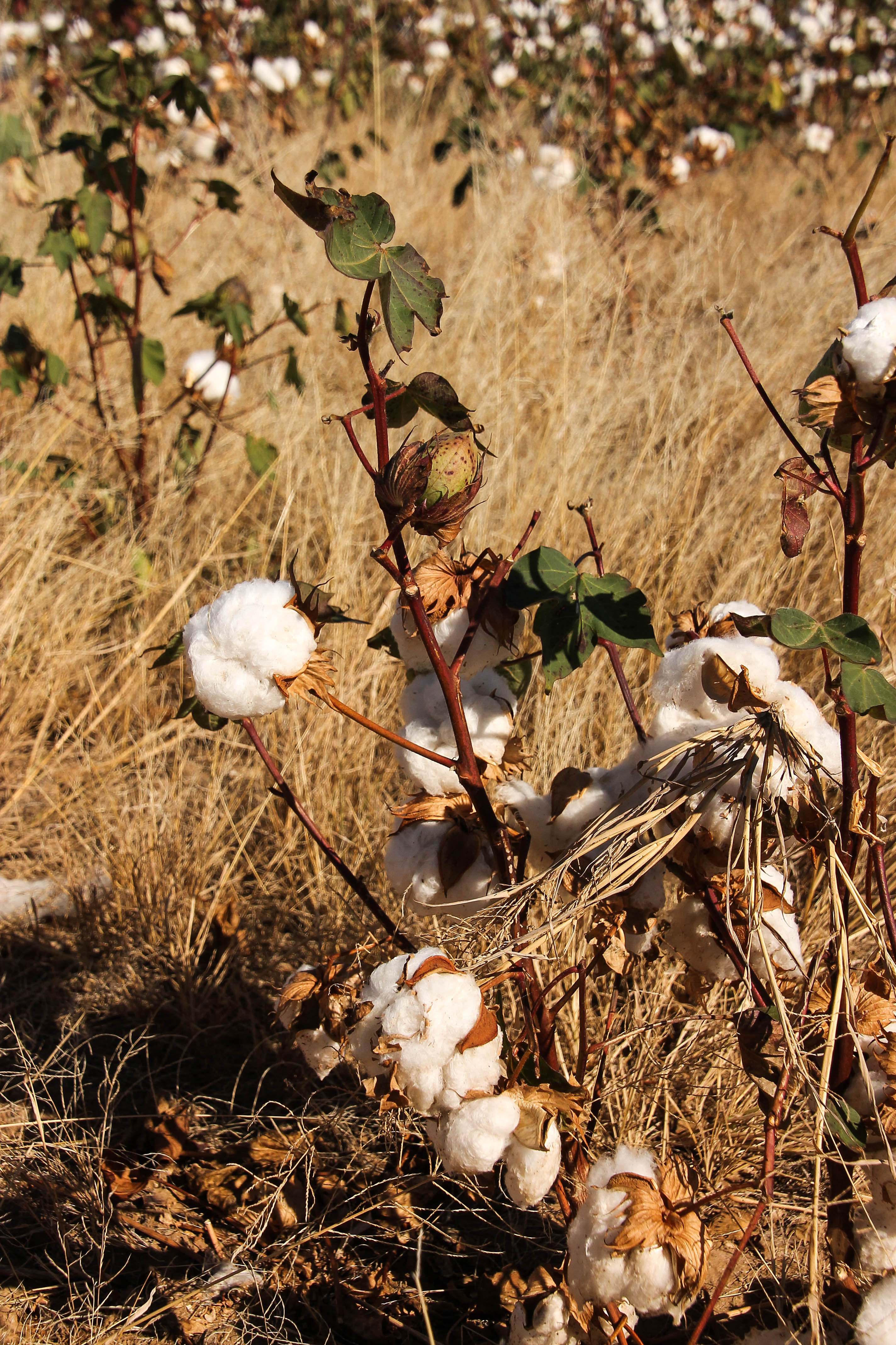
As we passed a cotton farm, I just had to stop and take some pictures. I was amazed to see this plant up close with its bursting cotton “pods” and array of colors.
American Fields of CottonBursting pods of cotton and beautiful colors as the cotton plant presents itself.Shimmering in the sun
Looking out over the dried up portion of Lake Rita Blanca from a trail
Lake Rita Blanca means Little White River. The name comes from the Spanish Sheepherders that inhabited the area in the mid 1800s. Lake Rita Blanca is located near the town of Dalhart, Texas south of Rita Blanca National Grassland. It is located in Hartley County, on the south side of Dalhart.
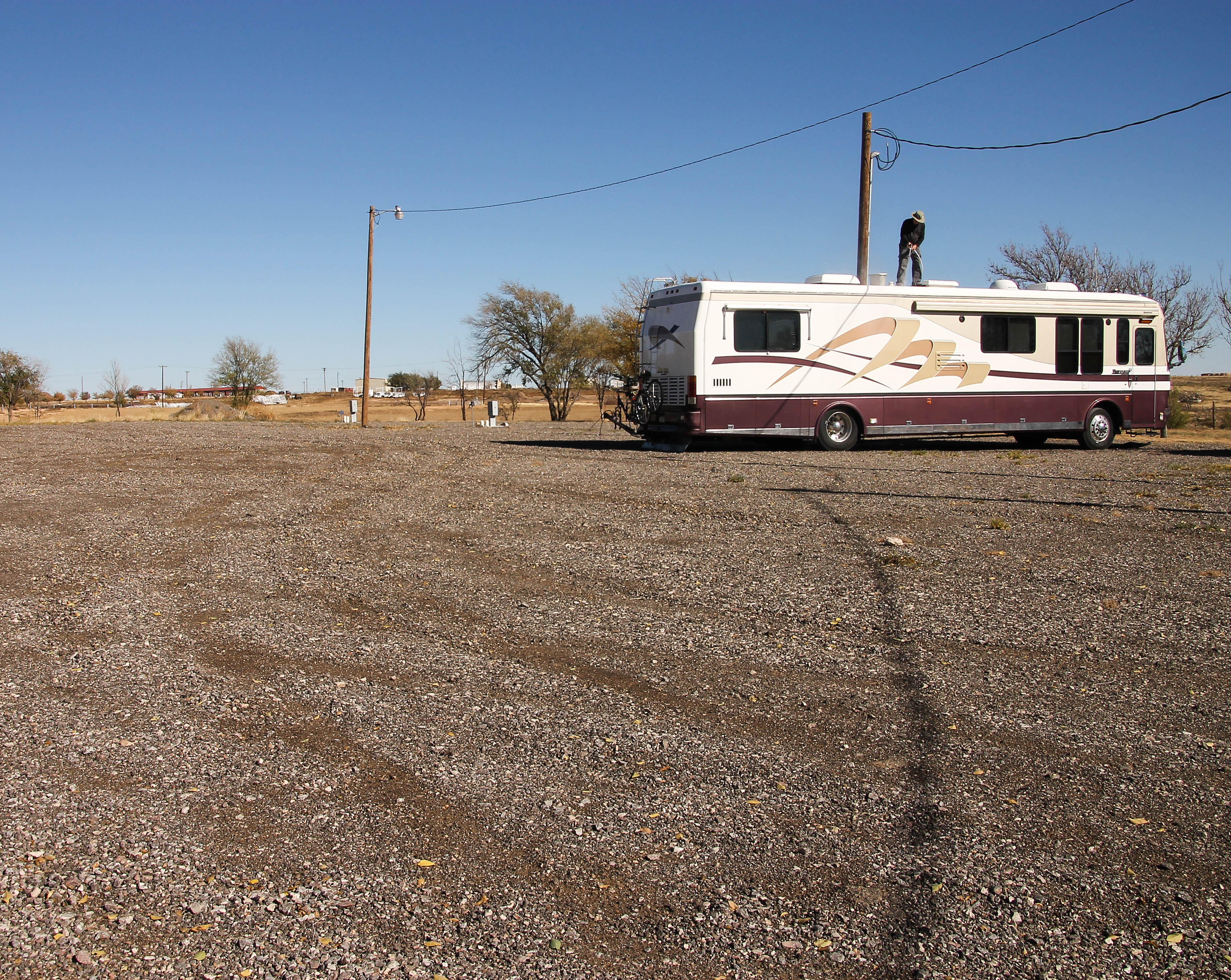
Howard found this camping spot, which at one time was a Texas State Park. I have tried to find additional information, on the web, about this camping location and all I can find is the statement – call the City of Dalhart for information.
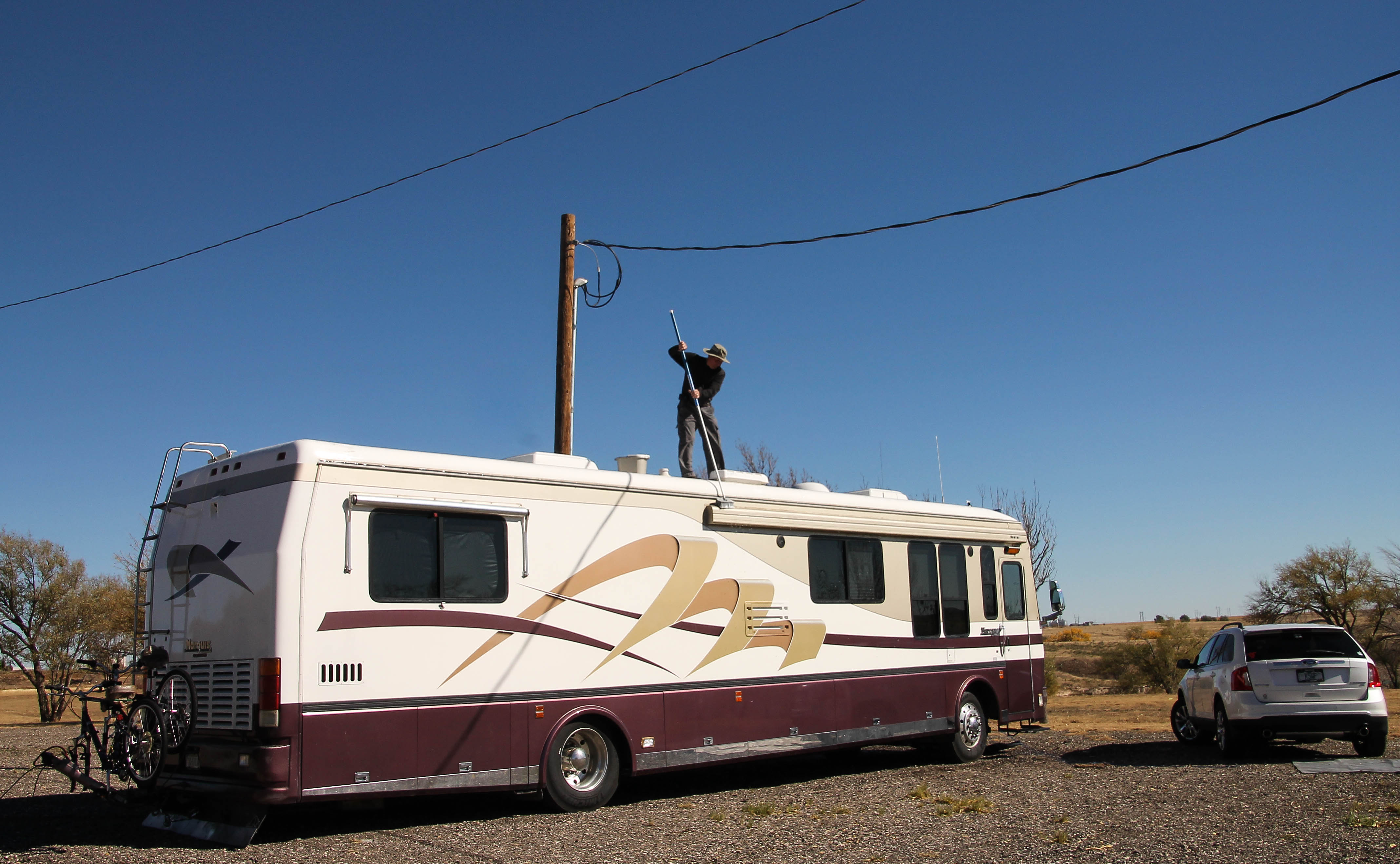
Eight sites with full hookupsAnother view of our site from the other end of this beautiful parkWe are up the hillHoward washing off the coach
No longer a Texas State Park, now a Dalhart city park. There are eight RV sites, overlooking the lake, with FULL hookups: Electric, Water and Sewer. Howard was a happy camper stating: “Steady, good voltage”.
Price to stay ~ $15.00 ~ a night! The sites are located in a big gravel lot, which is level. There are utility poles with lights that light up the area at night. Since arriving on Tuesday we have had only one other RV camping here, they stayed one night and left. We are all alone, but not lonely!
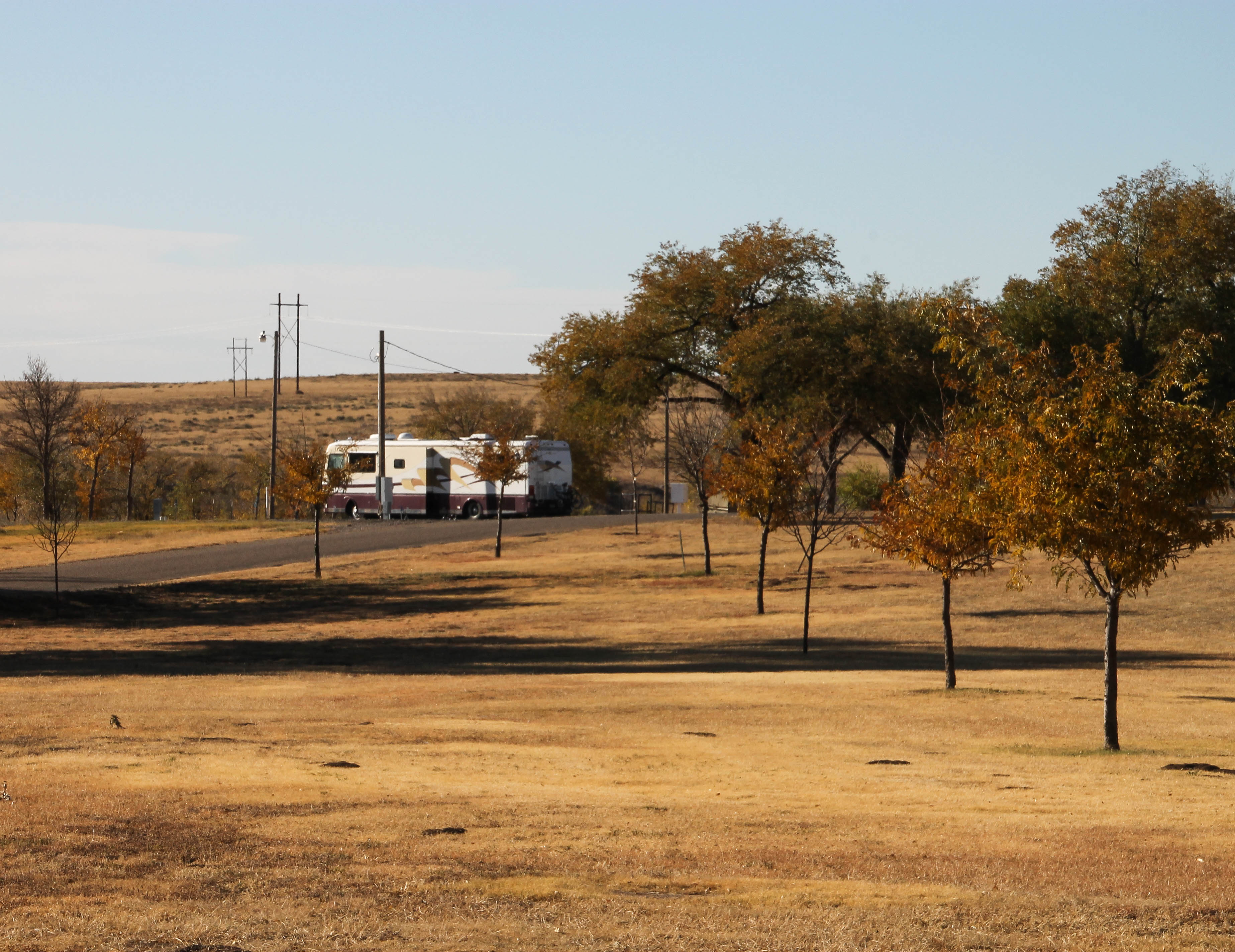
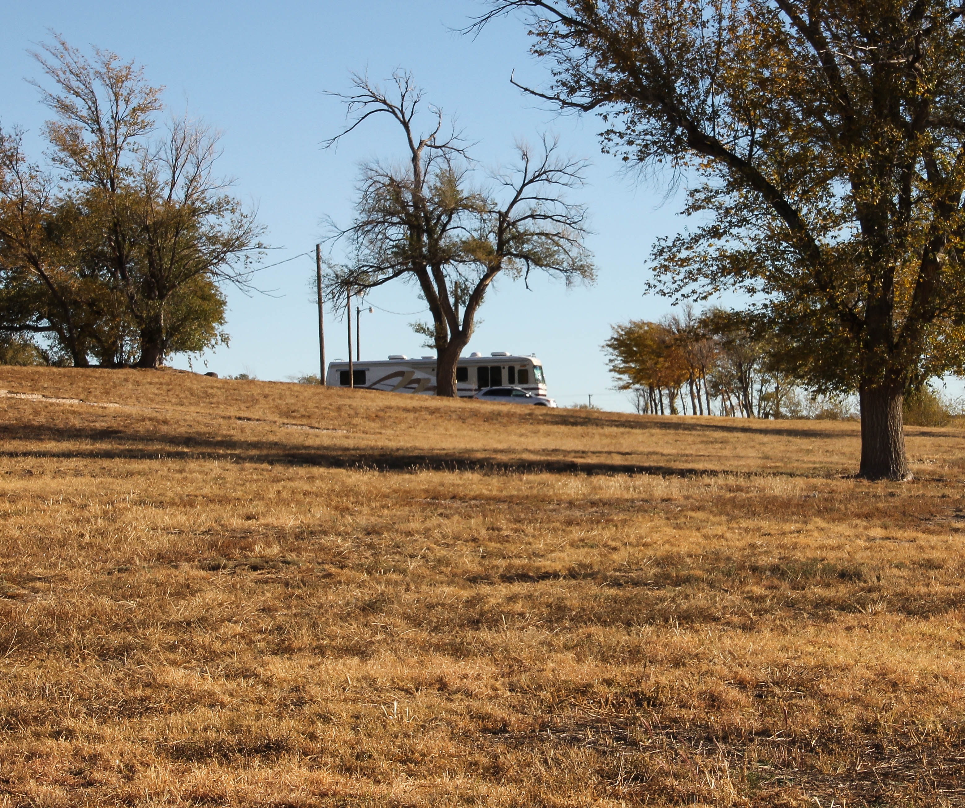
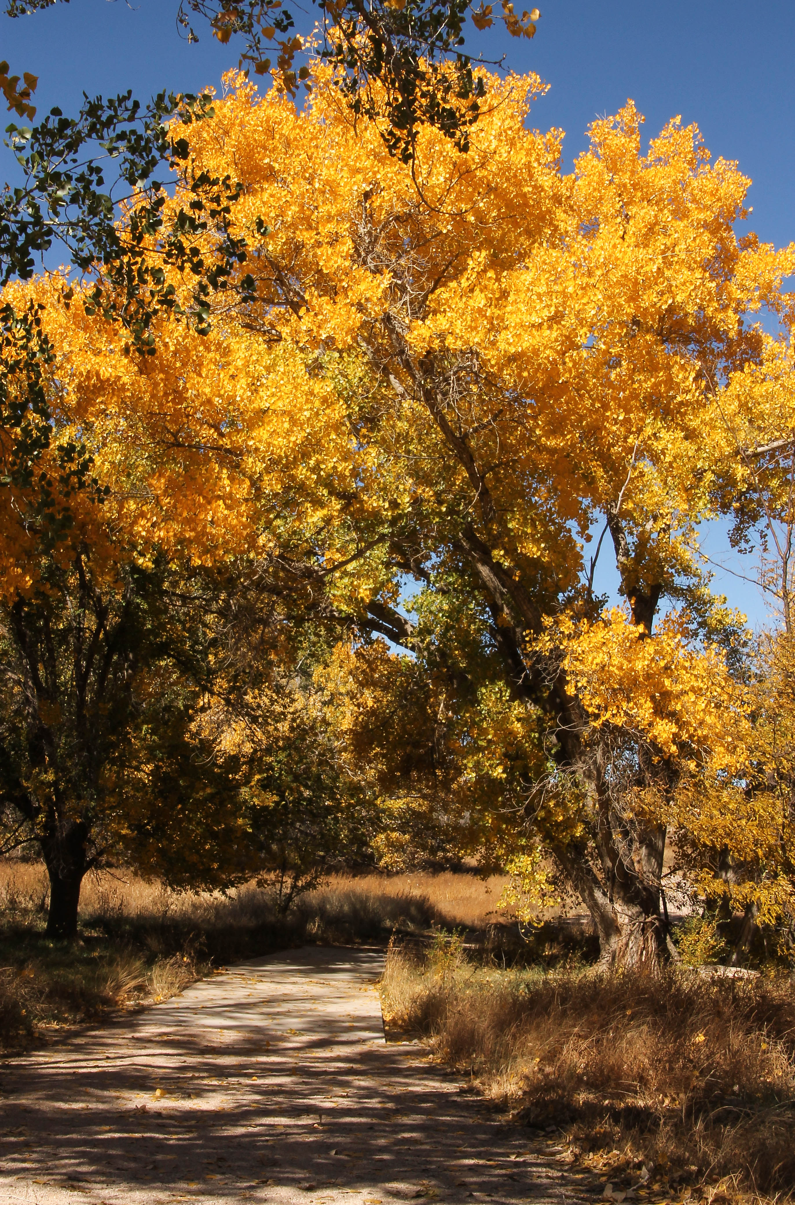
We have enjoyed hiking the trails in the park, watching the wildlife in and around the lake, visiting the downtown area and meeting some of the locals.
Lake Rita Blanca TrailheadLake Rita Blanca trailHaving fun!Whoa, beautiful fall colors
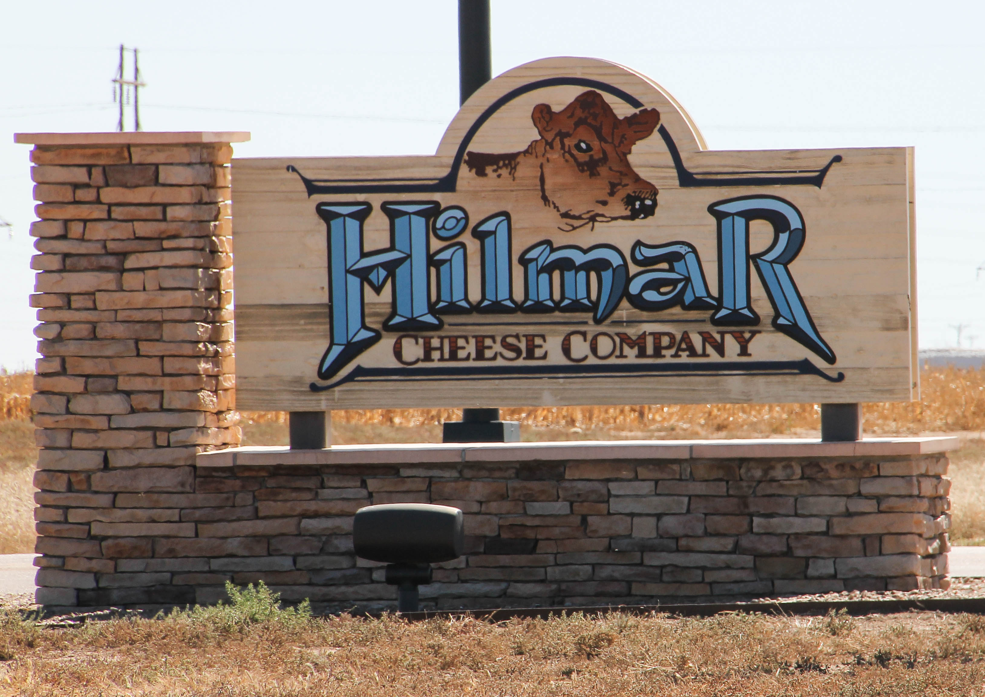
We were on a hike yesterday and stopped to speak with a lady walking her dog. She mentioned that Hilmar Cheese built a plant here in Dalhart. She told us that Hilmar is responsible for maintaining the beautiful trail we were walking. They did this to please their employees, which they moved from California to Dalhart in 2007 when they opened the plant. We later looked them up on the web and read about Hilmar building a state of the art faciltiy here. We drove to the plant today to see if they had a store and if they gave tours, but they didn’t. They do at their Hilmar, California plant.
Brown CowHilmar Cheese Plant, Dalhart, Texas
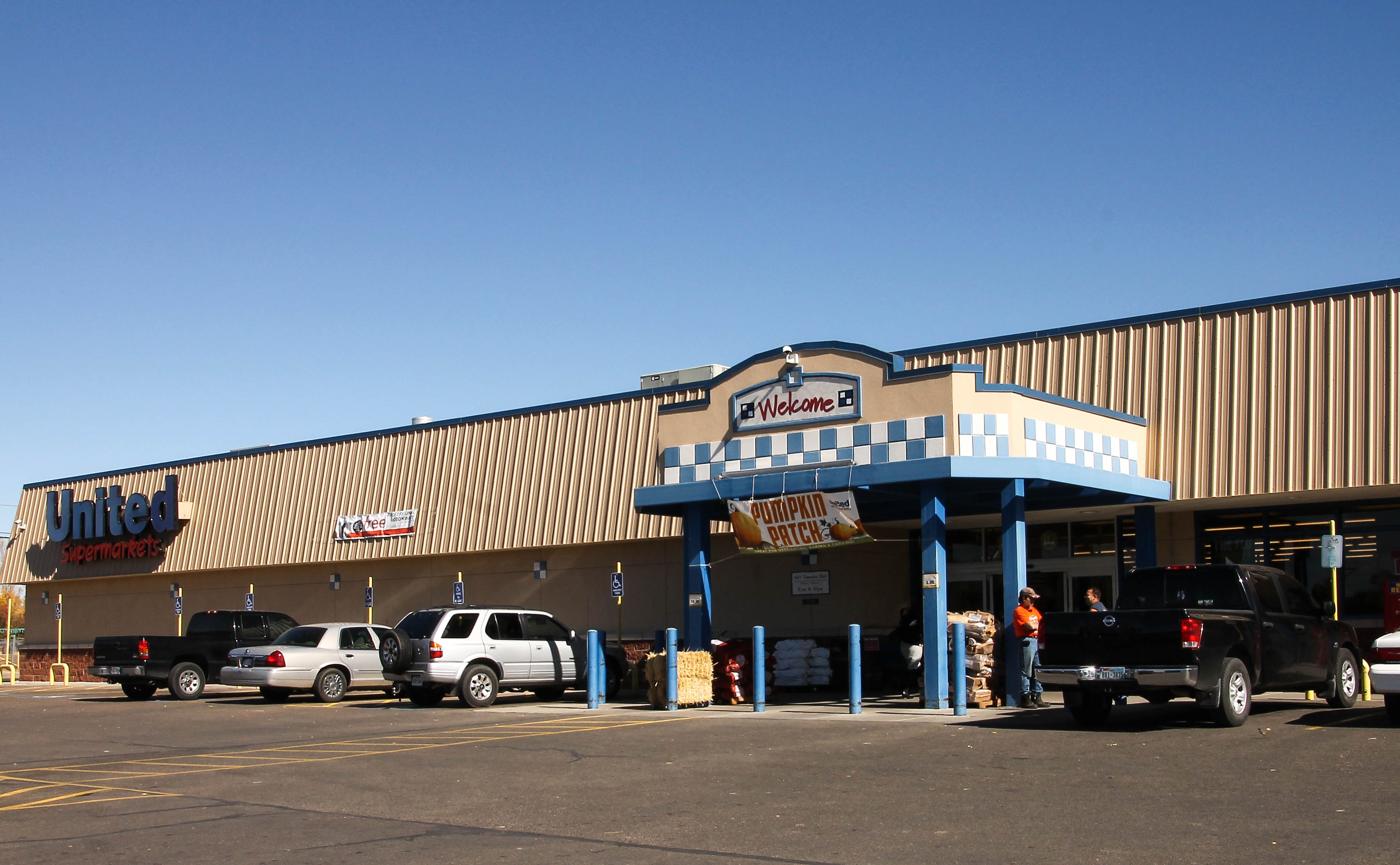
We quickly learned that if you want to eat out in Dalhart the best place to do so is at the local grocery store deli. The grocery is named United and I have to say it is a lovely store! Their staff are the most friendly people working in a grocery store I have ever met. The hot food at their deli was excellent! I also purchased some Hilmar, Pepper Jack cheese.
United Supermarket
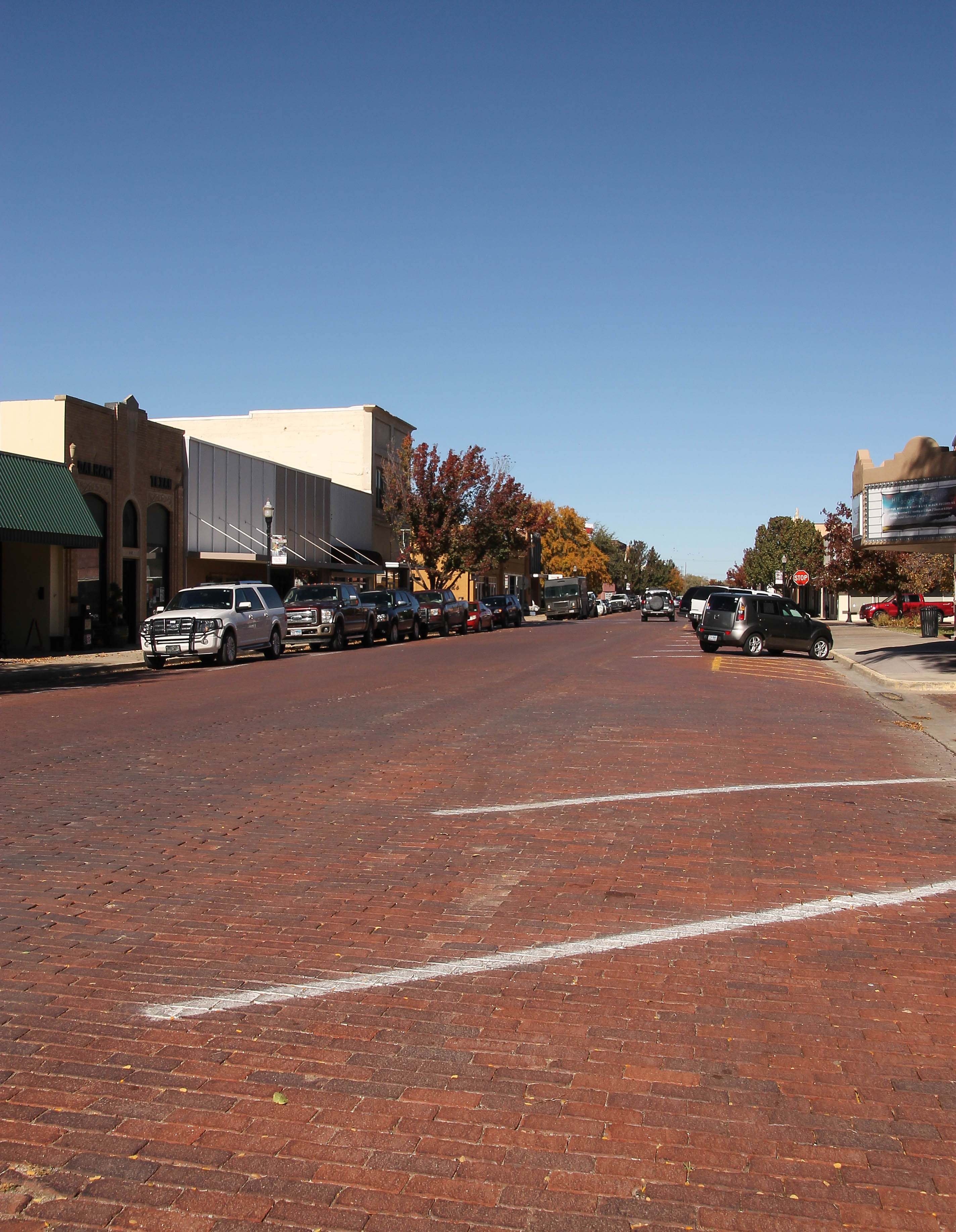
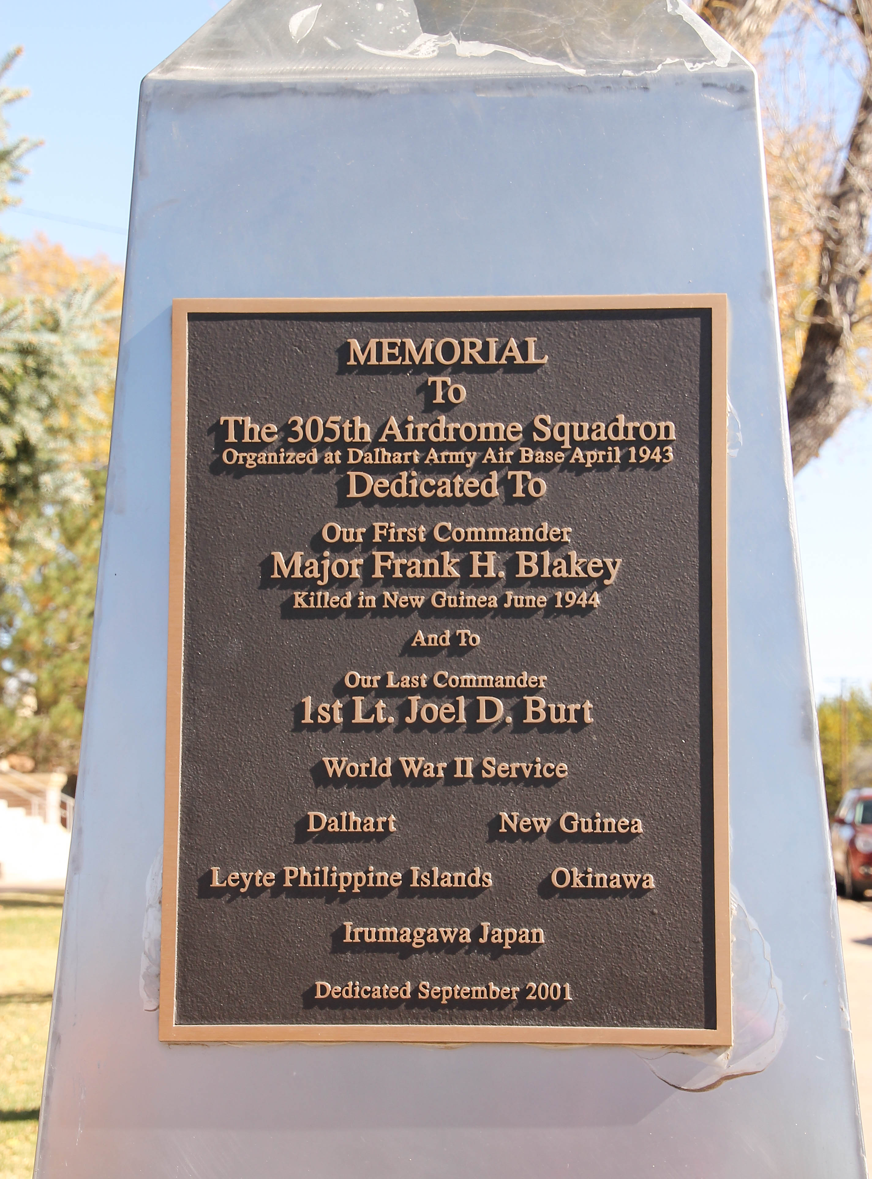
After leaving the Hilmar facility we drove through downtown Dalhart, just to experience the local area. The streets downtown are layed red bricks.
Downtown DalhartDalhart Court HouseMemorial to 305th Airdrome Squadron
A little history of Lake Rita Blanca: (taken from the web)
Lake Rita Blanca is located in the High Plains region of the Texas Panhandle. The vegetation is a native, short-grass, prairie plant community. This plant community, blue grama-buffalo grass series, is representative of much of the High Plains region and provides a unique opportunity for education with the local schools and the general public.
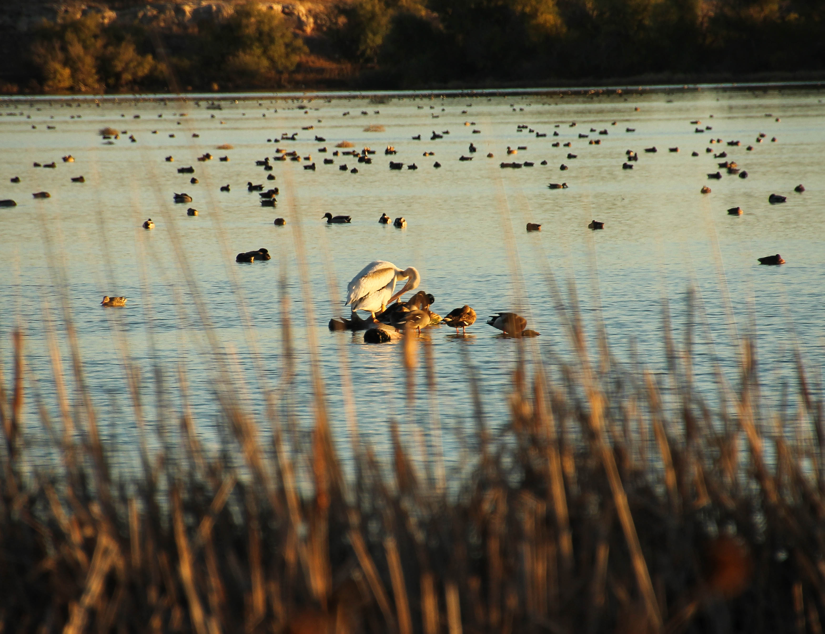
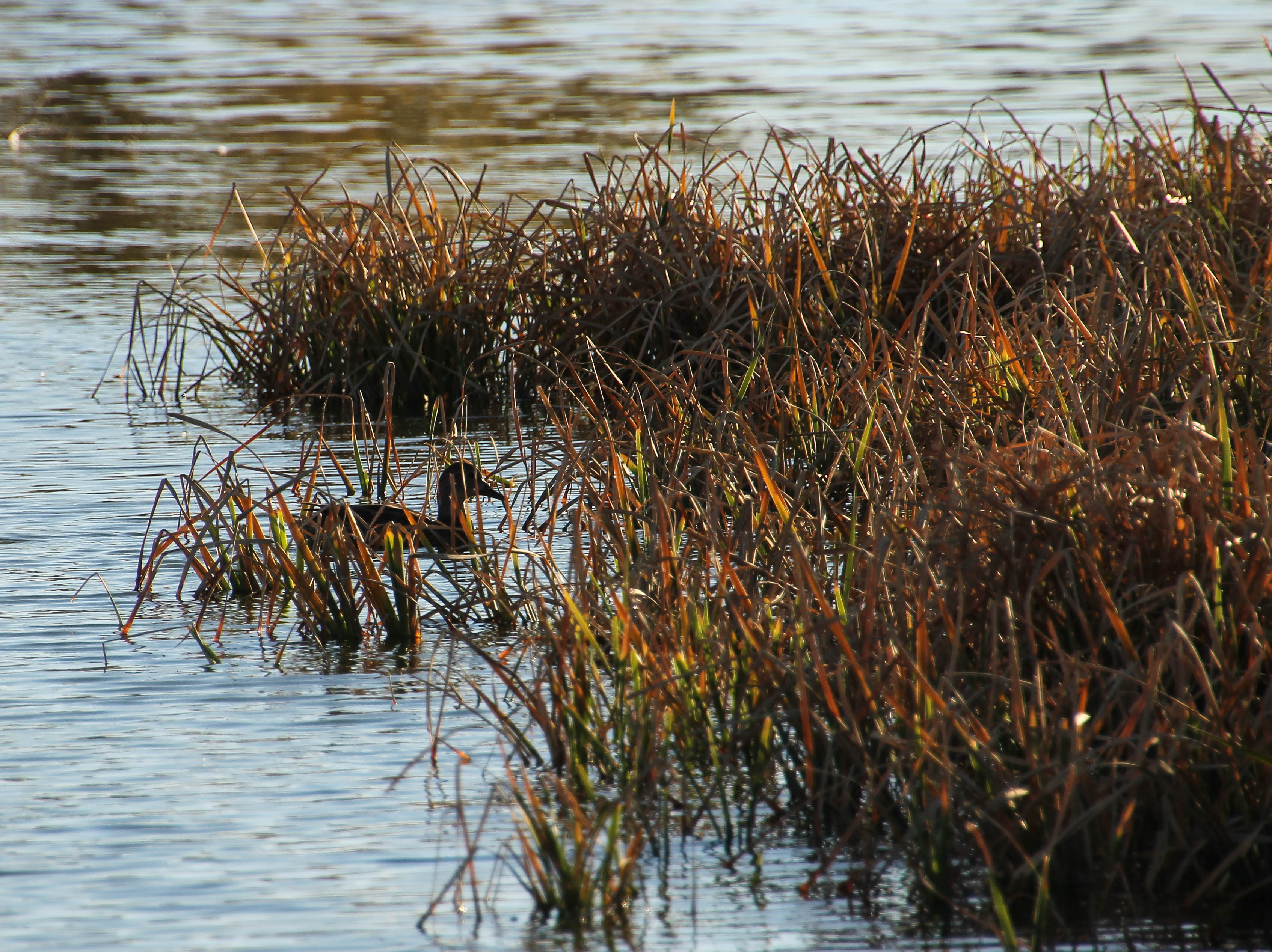
Although Lake Rita Blanca no longer has a fishing recreation opportunity, it is the second-most important wintering area in the Texas Panhandle for migratory waterfowl in the central flyway. Each year, thousands of ducks and geese come to Lake Rita Blanca to winter. It is estimated that the number of geese alone generally ranges between 40,000 and 100,000. A large number of neotropical, migratory birds also frequent the park each spring and summer.
In addition, there is a wide variety of wildlife, including scaled quail; bald eagles; mule deer; and swift, gray, and red foxes that make their home in the park.
Recreational opportunities offered at Lake Rita Blanca includes hiking, horseback riding, bicycling, nature walks and educational classes.
Lake Rita Blanca is located just south of the City of Dalhart off of US Highway 385/87 and FM 281.
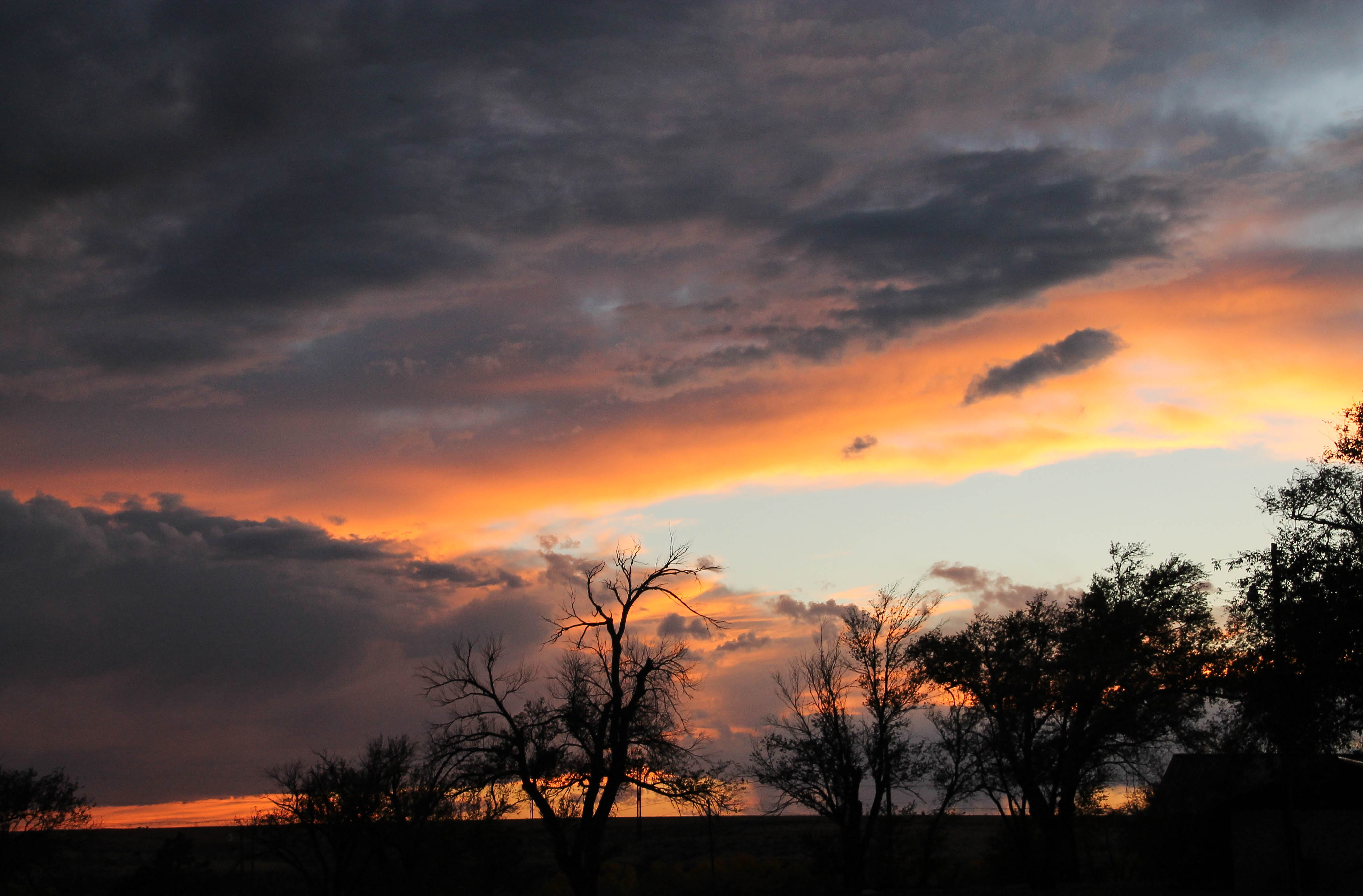
Lake Rita BlancaA Lone White PelicanLake Rita Blanca at sunsetLake Rita Blanca (another view)The Setting Sun beautifully highlight the ReedsBlackbirds enjoy the ReedsSetting sun last night
I have some more photos, which I will post.
Travel Notes:
Date: Tuesday, October 29, 2013
Departed: Capulin, New Mexico
Arrived: Dalhart, Texas
Traveled: 111 miles
Current location: Lake Rita Blanca (Dalhart city park)
Visited: Three nights (third night tonight)
In the morning we head to Copper Breaks State Park.
On Monday, October 28, 2013 we left Colorado City, CO and traveled to Capulin, NM, with plans to stay at Capulin RV Park and visit the Capulin Volcano National Monument. For an interesting story about how a family from OK settled in Capulin, NM visit their web-site at http://www.capulinrvpark.com and read their story.
Like so many people, traveling Hwy 64/87, we for many years drove by this beautiful national park. We are very glad we decided to stay and visit the park. It is a pleasant way to spend a couple of days to include: hiking, birdwatching, picnicking, photo taking and to learn a little history of the area. What a diverse and beautiful country we live in!
Capulin Volcano National Monument is located off of Hwy 325, three miles north of the town of Capulin, NM on U.S. 64 and 87 and 30 miles east of Raton and I-25.
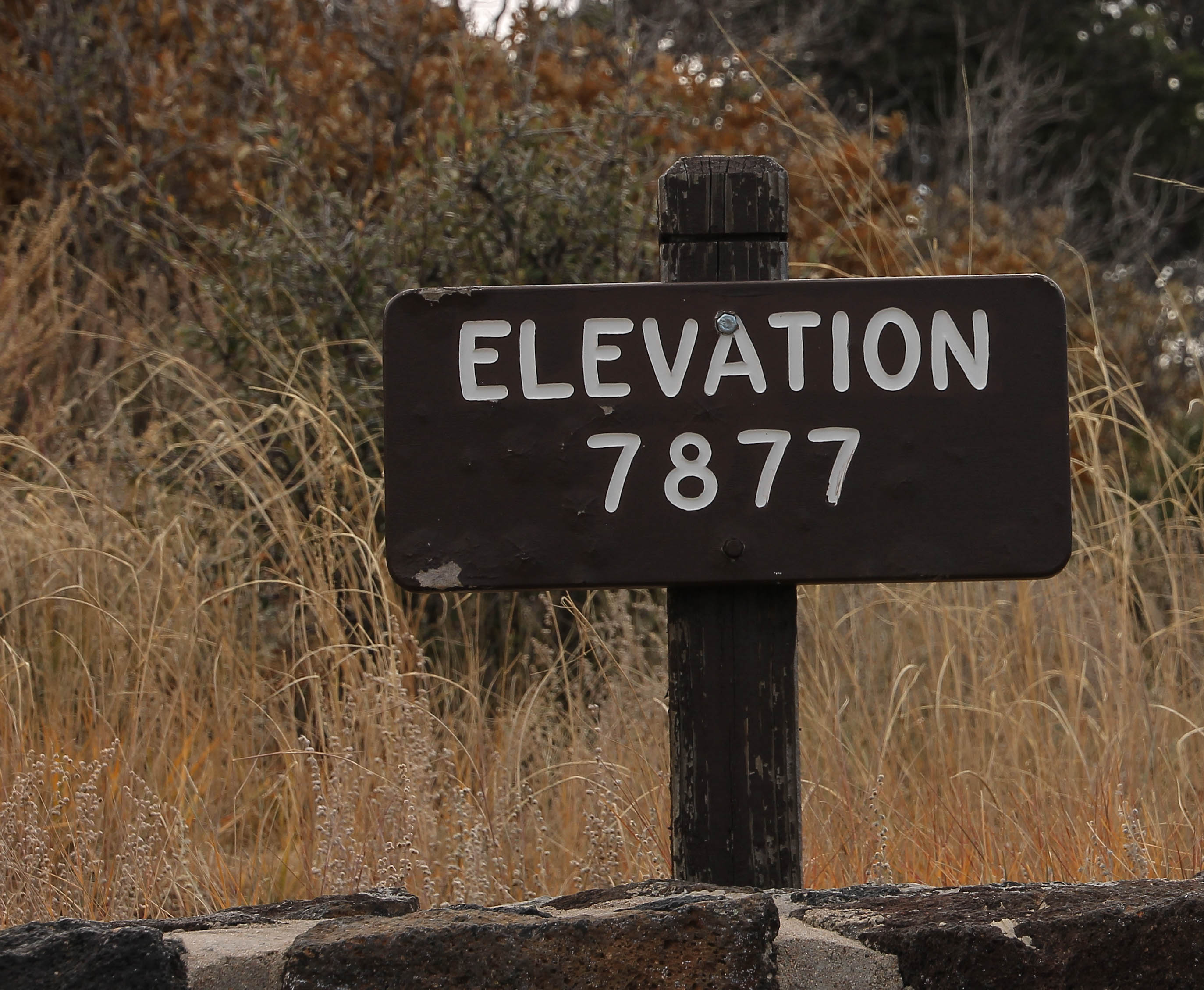
Entering the Volcano National ParkElevation at Capulin VolcanoHistory of Capulin Volcano
Capulin Volcano erupted into existence 60,000 years ago. Capulin’s birth occurred toward the end of a period of regional volcanism that began 9 million years ago.
Capulin, where The Grasslands of the Great Plains and the Forests of the Rocky Mountains meet:
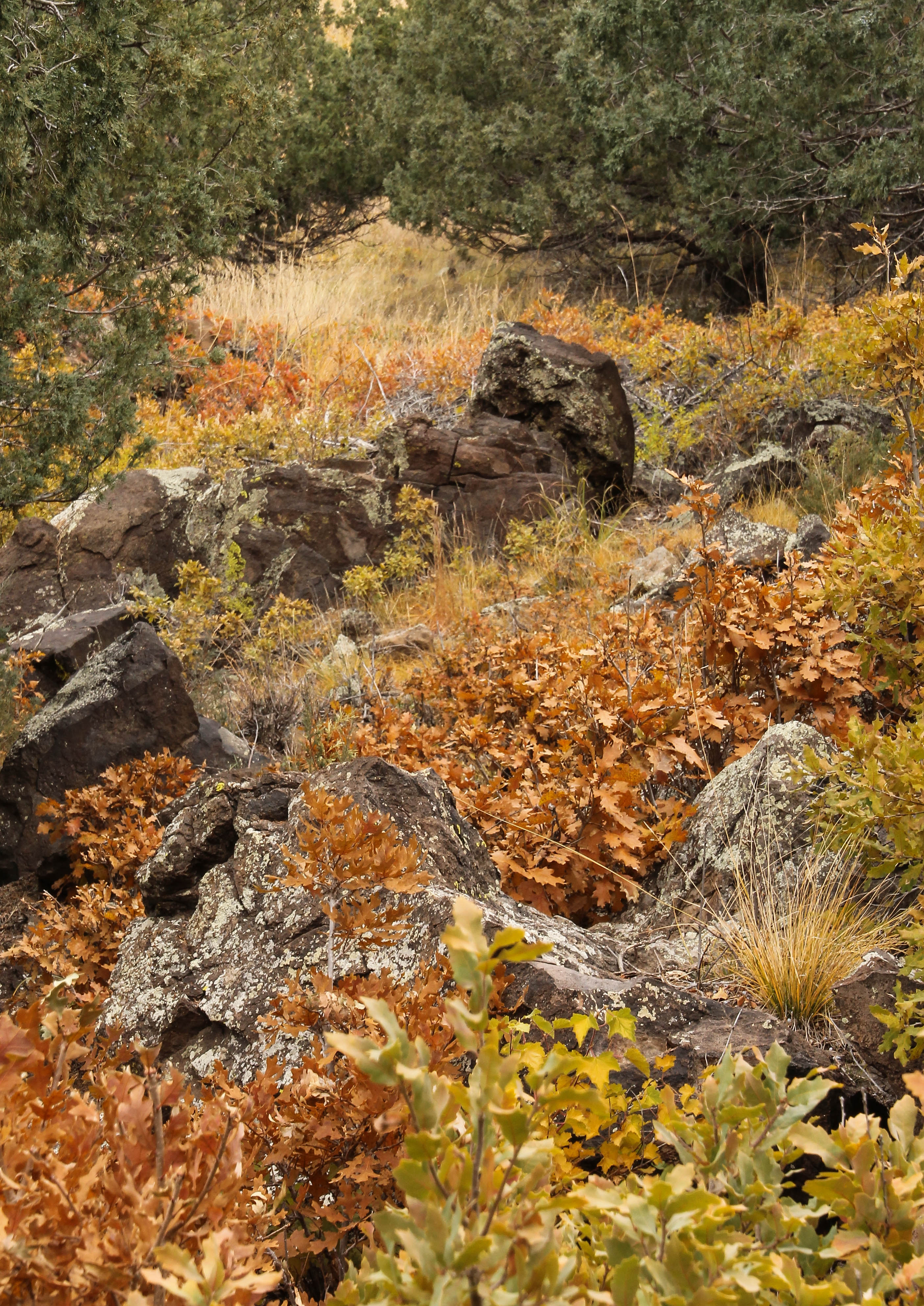
Although Capulin is primarily known for its volcanic geology, the park boasts a rich diversity of plant and animal life. The grasslands of the Great Plains and the forests of the Rocky Mountains combine at Capulin to form a unique ecotone which provides habitat for 73 species of birds in addition to numerous other animals. Mule deer can be found in abundance both at the base of the volcano and on its slopes, while elk, black bears, coyotes, and mountain lions occasionally make appearances within park boundaries.
Cah-poo-leen:
Plants in the area include prairie grasses and wildflowers, pinyon pine, ponderosa pine, and juniper. Legend has it that the volcano was named capulin (cah-poo-LEEN) after the Spanish word for chokecherry. The chokecherry grows throughout the park, along with mountain mahogany, scrub oak, and three-leaf sumac. (I can only imagine how beautiful it must be in the spring.)
You can read the full story, at the Capulin Volcano National Monument web-site:
Too bad it was a cloudy, overcast day; however it was beautiful anyway!
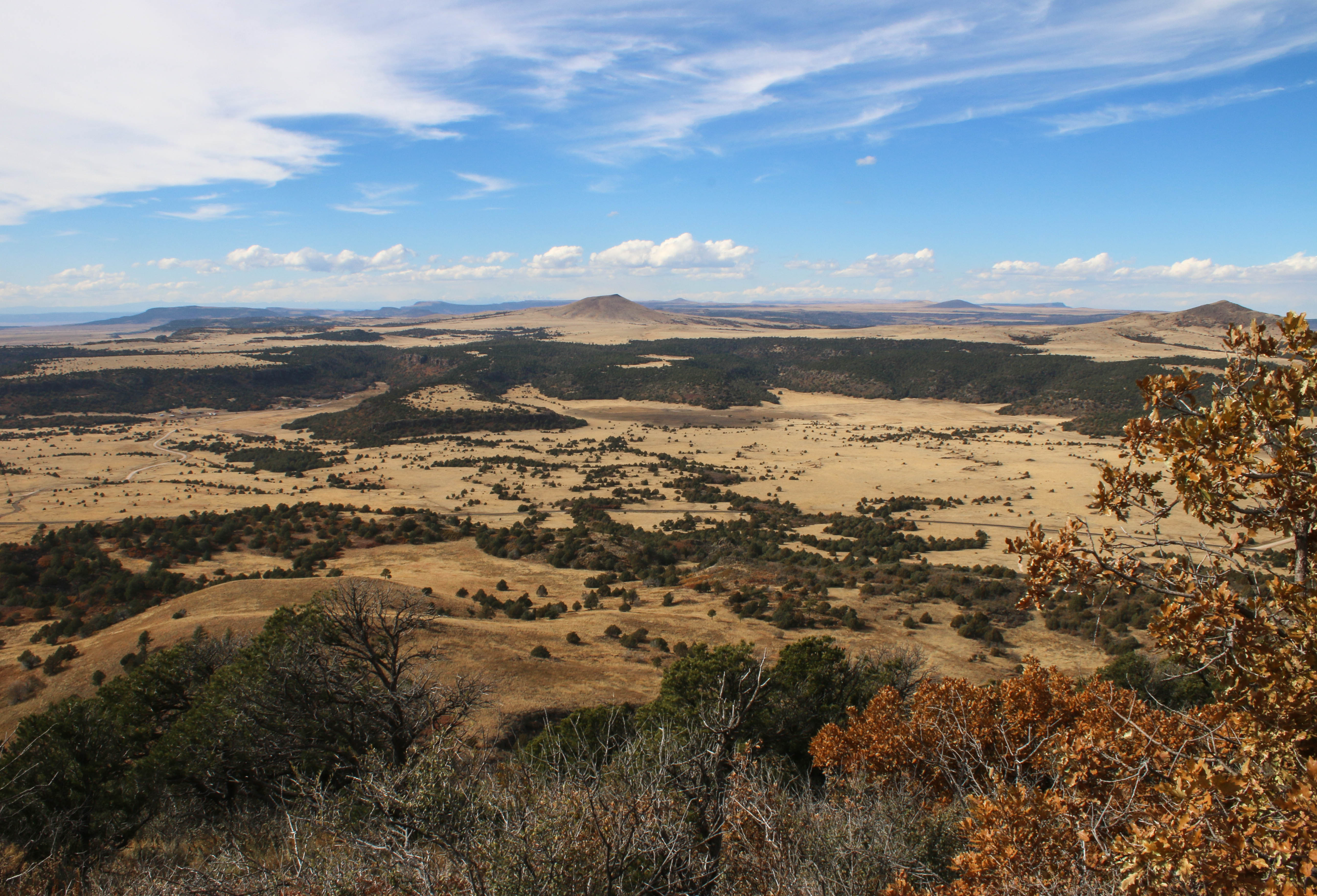
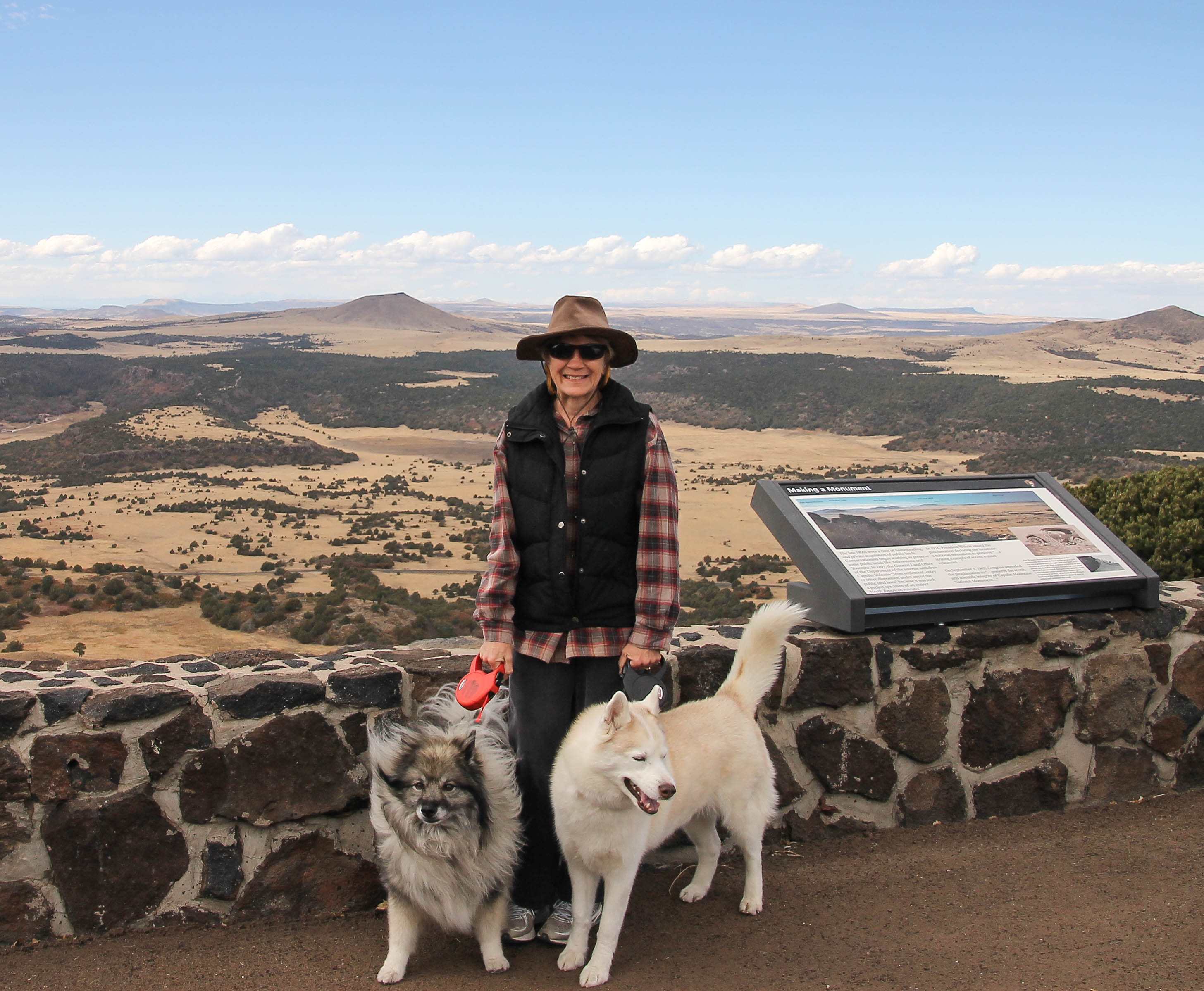
Looking out across the plains
This is the view once you reach the top of the volcano.
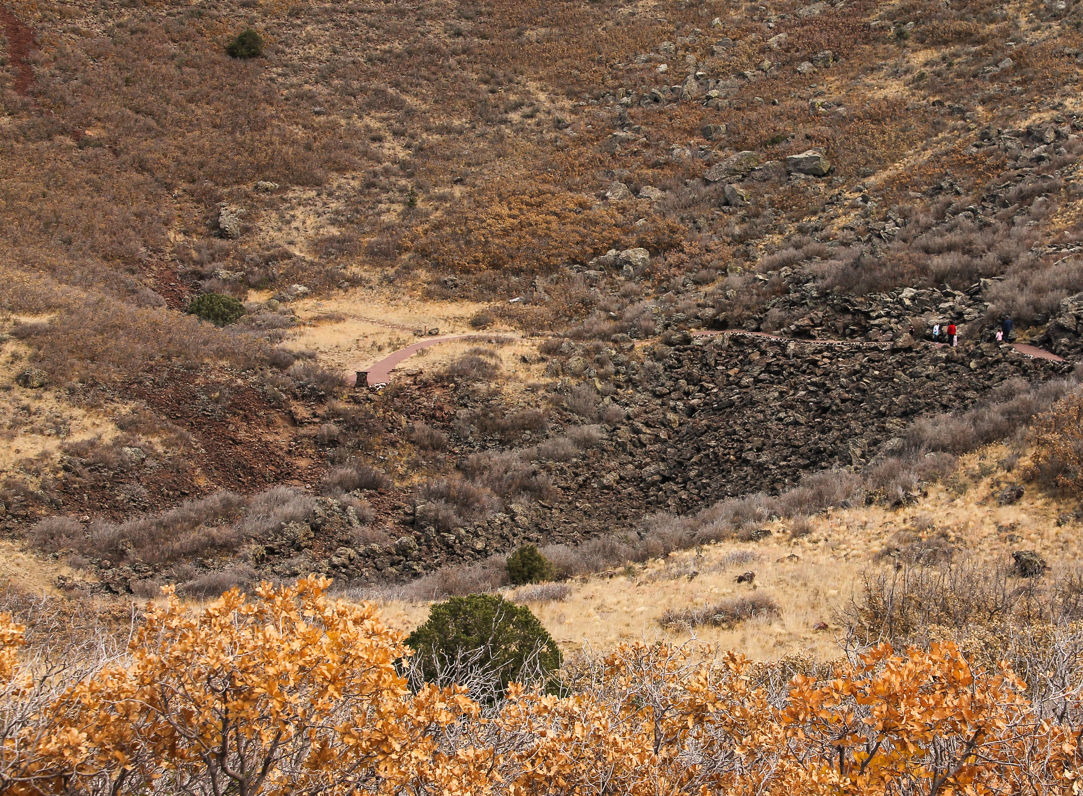
Looking down into the volcano
Look close in the upper right of the photo and you can see people down at the base.
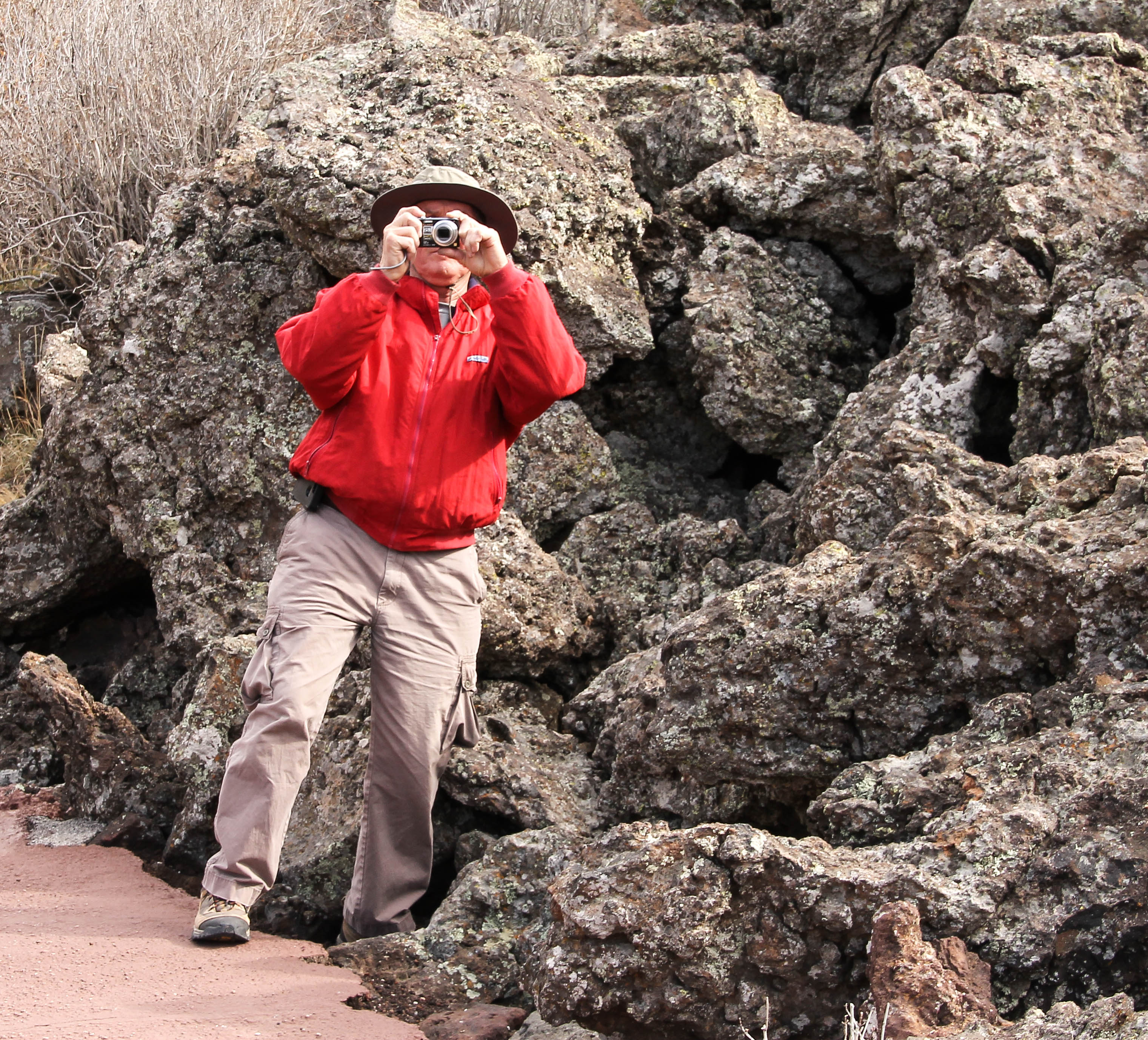
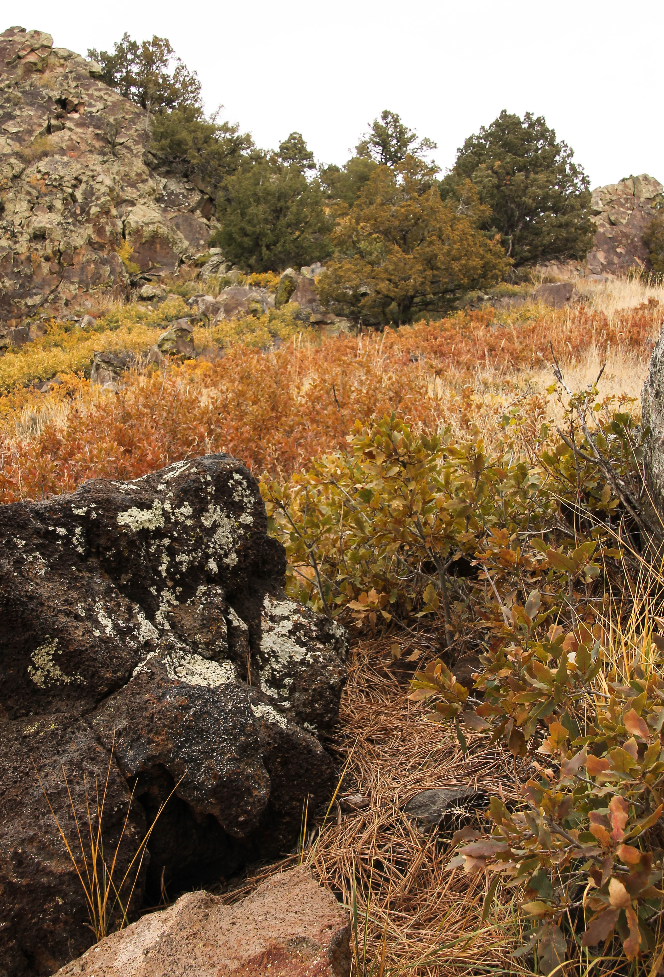
Volcanic Rocks
This view is at the base looking up a wall of rock.
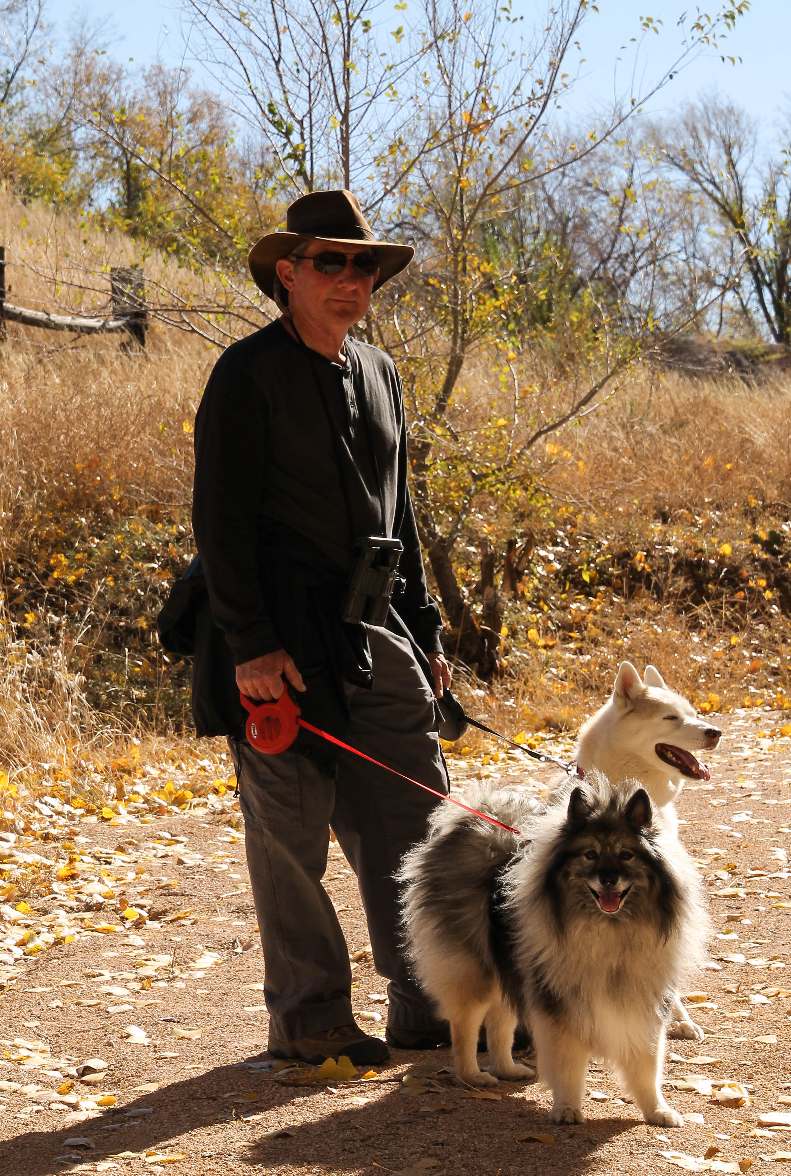
Howard taking a shot!The Bag Lady and her doggies!
Look at the fur on Skye and Kloud to get a feel of just how windy it was at the top, and don’t pay any attention to the lady dressed like a Bag Lady!
My pack
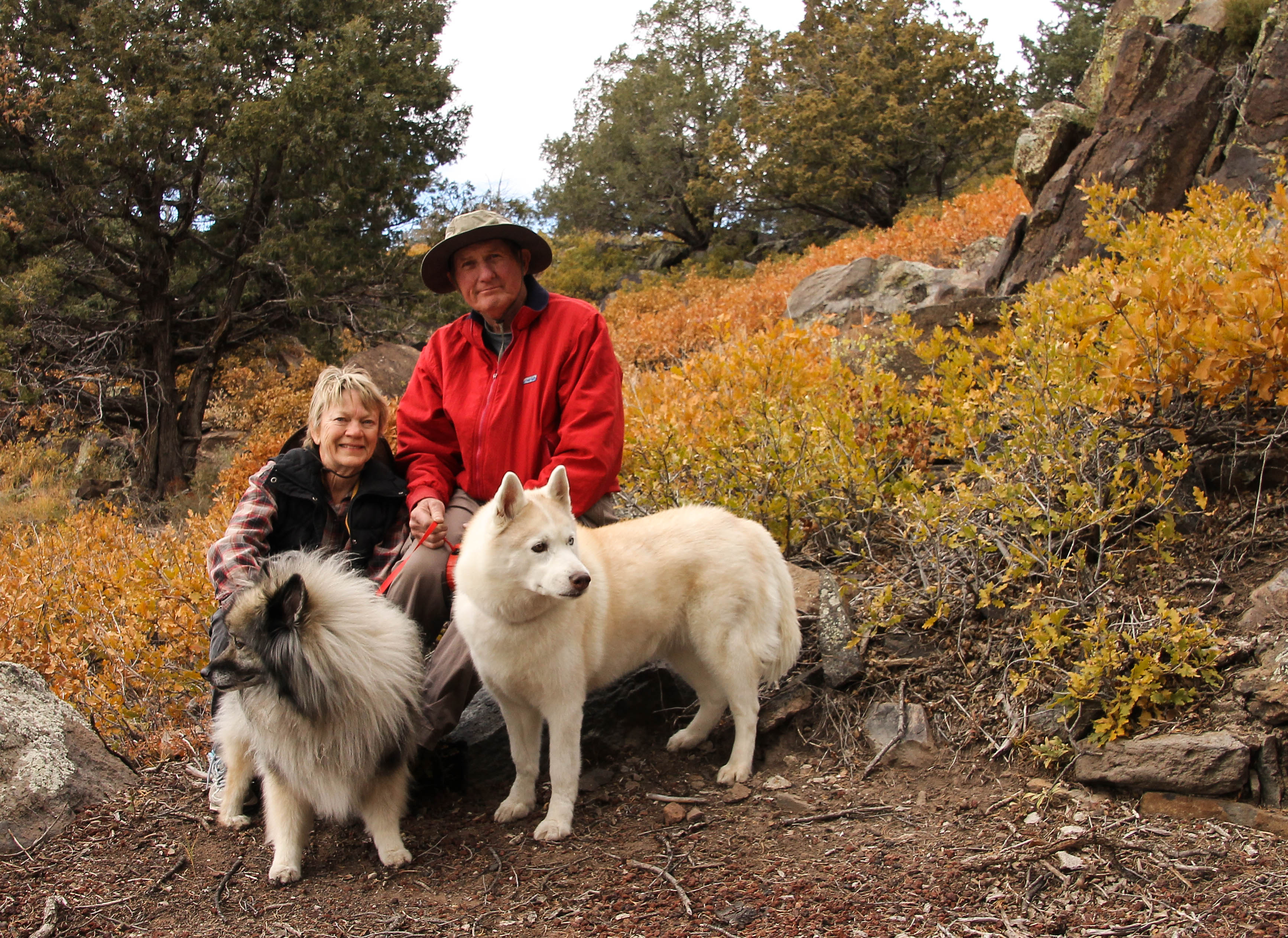
One of the many picnic areas the park offers, table was sitting off to the right. We are so glad our “girls” love to hike!
The Pack
You can see the different types of vegetation in the background. A self-portrait with camera sitting on a picnic table. I had to set the camera and run over for the photo. I guess the girls, both looking in different directions, didn’t want their photo taken.
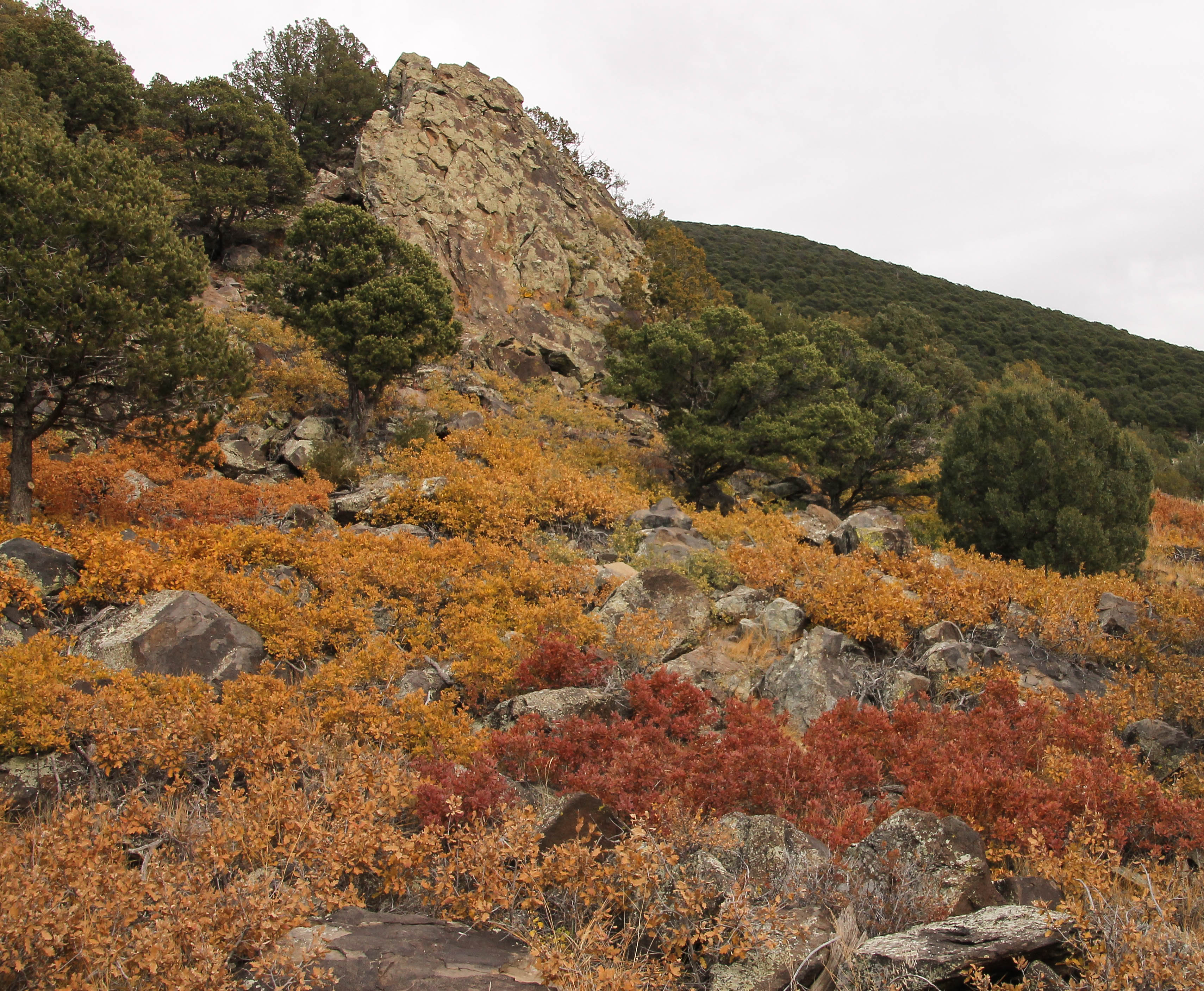
A beautiful area
A beautiful area filled with diverse terrain.
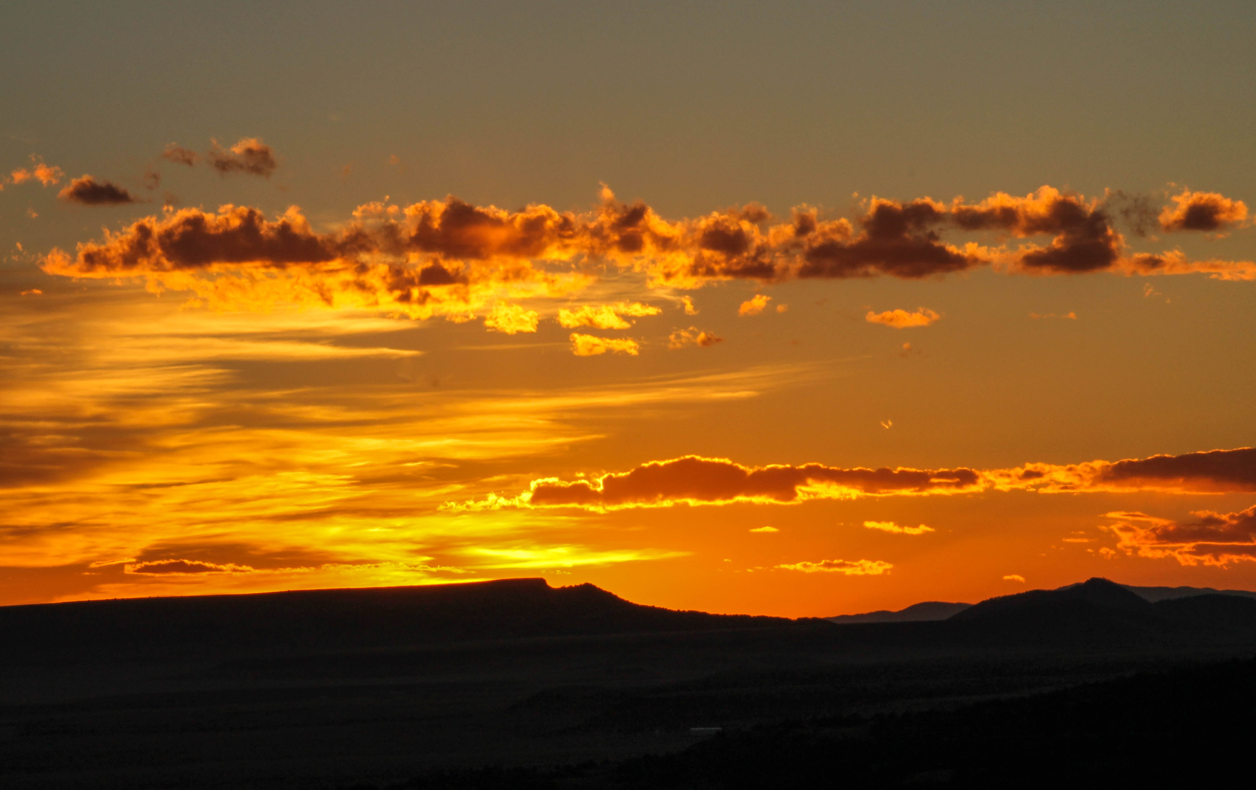
Falls ColorsVolcanic rock everywhereSunset over the Plains
We left the coach around 5:30pm and headed toward the Monument in hopes of seeing a beautiful sunset. We were not disappointed. views in every direction. At one point we pulled off the road and when I rolled down the window to take some photos, I heard a chorus of moos; their song was extremely loud. Maybe they were admiring the sunset as well. This is cattle country!