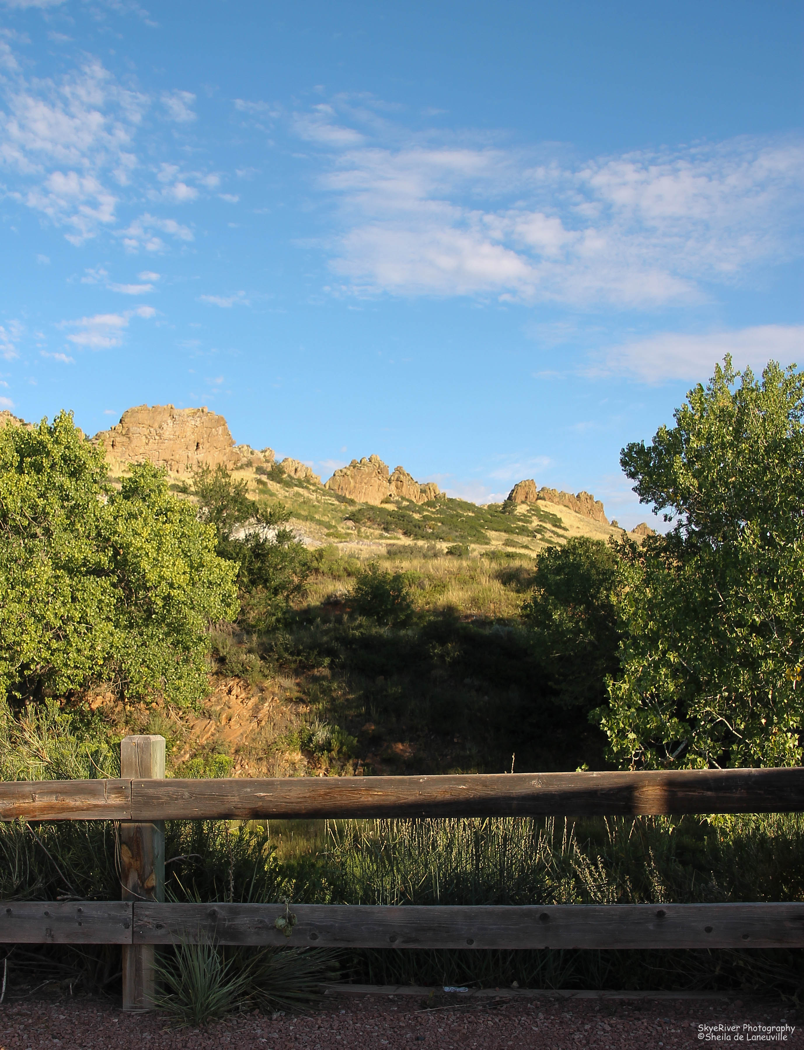
My neighbor Shari, invited me to go with her on a hike to the Devil’s Backbone Open Space area. The Backbone, as locals call this area, is located less than a mile to the west of us.
It is a gorgeous, 2,198 acre, open space area with jetting flatiron formations, and valleys filled with varied grasses, lichen covered rocks and prickly pear cacti. The trail system accommodates hikers, bikers and horseback riders.
In the morning we are heading out again on a hike, this time we are planning to go a little further down the trail. It is getting cooler here in northern Colorado so hopefully we won’t have to worry as much about the Rattlesnakes.
Tomorrow will be chilly, so I hope the Rattlesnakes are listening to the forecasters and planning to stay “under a rock!”
Here are a few scenes from our hike on Tuesday:
Early Morning SunlightThe TrailThe GrassesThe Backbone
Devil’s Backbone as seen from the trailhead parking lot
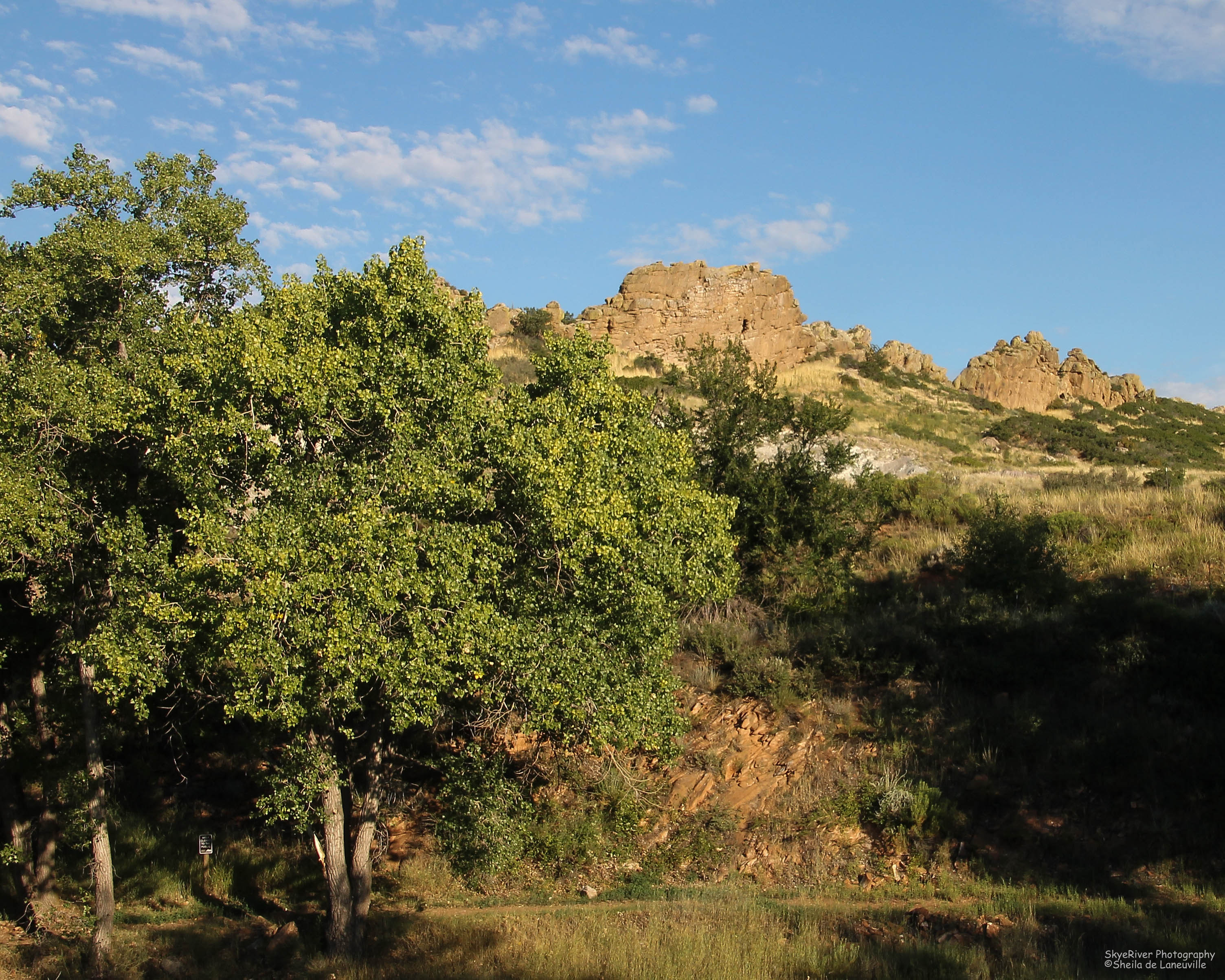
Less than a mile from my house, our first stop on Tuesday morning on the drive through the Big Thompson Canyon, toward Rocky Mountain National Park, was the trailhead leading to one of Loveland’s gorgeous open space areas.
This area is called the Devil’s Backbone. The area gets it’s name from the unique rock formations called Flatirons. It is believed that the first settlers to this area arrived in 1858 creating farming settlements around the Devil’s Backbone and the Big Thompson River. Flatirons were given their name by these pioneer women, because the flat, jetted peaks reminded them of their metal irons. Not sure how these Flatirons were named The Devil’s Backbone.
The Devil’s Backbone Open Space area consists of 2,198 acres and lies in a beautiful valley just west of Loveland. As you hike, bike, bird, eat a picnic lunch or just sit taking in the view, you can’t help being overwhelmed by the areas serene beauty. I can’t wait to hike this area and to capture both a sunset and sunrise photo.
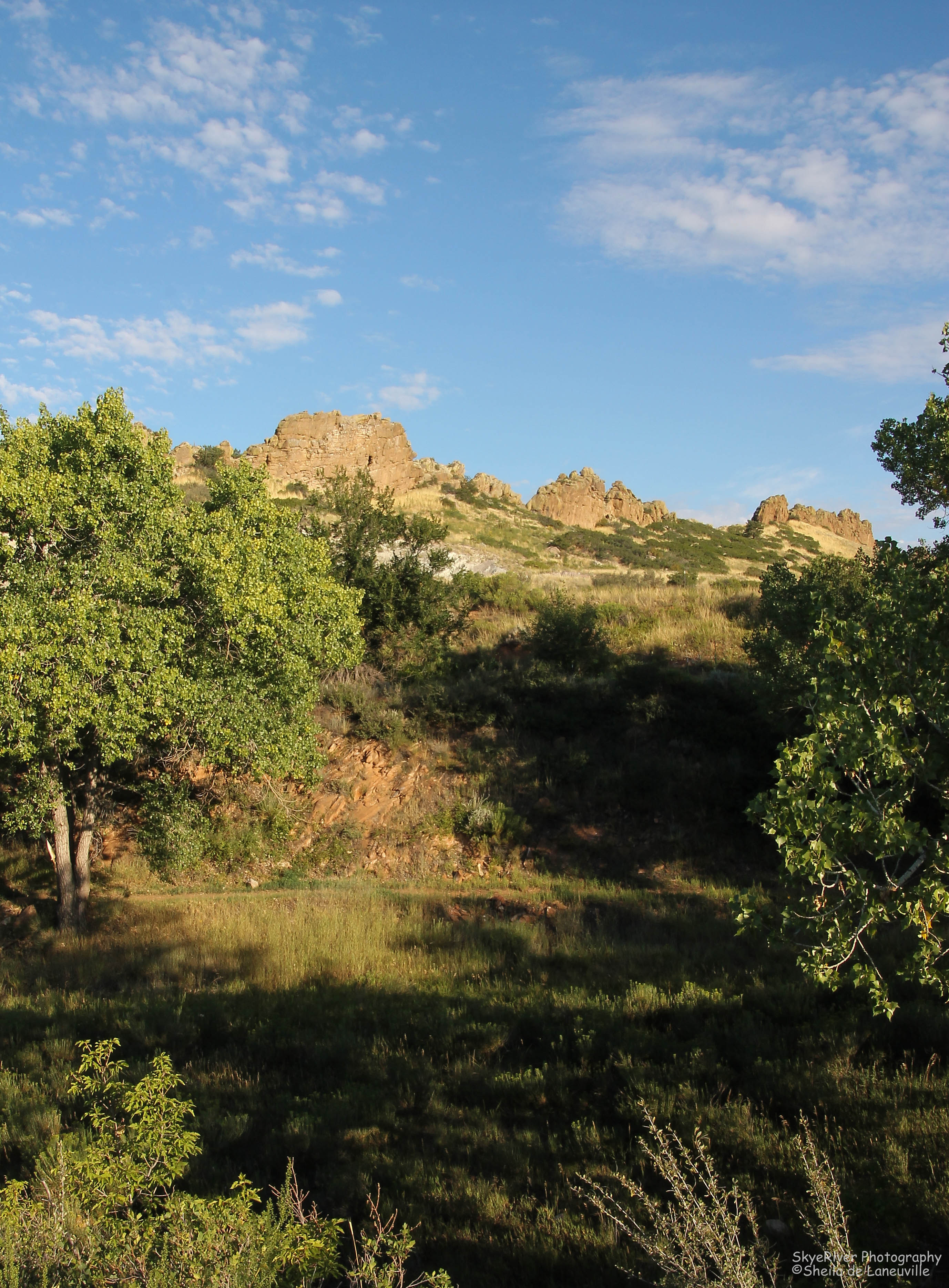
I can’t believe how green our area is this year!You can just make one of the hiking trailsA close-up of some of the Flatirons